
Wolvey Village
Wolvey has been strategically placed in the national transportation network since Roman times. The main road linking London with the south-east and north-west, Watling Street, today forms the north-eastern boundary of the parish while nearby High Cross was a Roman settlement at the junction of the south-west to north-east arterial route, the Fosse Way.
But the well-drained and easily managed sand and gravel soils of Wolvey attracted much earlier settlers. Some four thousand years ago, in Neolithic and Bronze Age times people were making and using flint arrowheads, knives and scrapers which suggest some hunting and leather working took place here as well as farming. They also buried their dead under mounds built of turf, a number of which survive in the parish. There were also Iron Age and Roman farmsteads and the famous defeat by the Romans of Boudicca, queen of one of the British tribes, probably occurred on Watling Street not far from Wolvey.
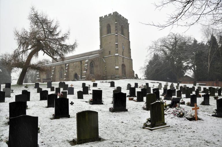
The first written record of Wolvey occurs in the Domesday Book of 1086. From this we learn that Aethelric held land here before the Norman conquest. It lists a priest in the place, so there was presumably a church although the earliest part of the present church is a 12th century doorway. By this date Wolvey was prosperous enough to provide a weekly market for the area. There were other settlements within the parish; one with its own chapel, known as Little Copston, long since disappeared, while another, recorded in the Domesday Book was Bramcote. They were agricultural communities, arable and pasture, with supporting crafts like smiths and millers, and operated within the feudal system. Much of the land was farmed for the benefit of Coombe Abbey; one farm at Wolvey, which included a large fish pond, had been given for the benefit of the Knights Templar in 1257 hence the current name of Temple Farm.
Such land changed hands following the dissolution of the monasteries in the mid-sixteenth century. The manorial system however continued with strips of land cultivated by copyhold tenants in an open field system with shared grazing areas, controlled by two Lords of the Manor, the Marrowe and Astley families. There was little variation to this until changes in farming practice led to the enclosure awards in Wolvey of 1797.
From about this time a number of features associated with modern Wolvey begin to emerge. The road pattern as we know it today was laid out. A school was established by the Vicar of Wolvey for poor children about 1784 and the Baptist Chapel was built 1789. Industrialisation was leaving its mark on rural Wolvey both in farming and in the work of its inhabitants. The 1841 census records more people employed in framework knitting than in farming; farm labouring brought in about nine shillings a week; knitters could earn up to 12 shillings a week.
By the end of the century farming and its support services provided income for the majority of its inhabitants; there was a village smithy and a wheelwright and also a number of traders in Wolvey: butchers, bakers, grocers, coal dealers and other shopkeepers. These gradually disappeared as Wolvey ceased to serve the main road linking south-west and north-east England and changed character to meet the challenges of a diversifying farming and commuting community at the beginning of the 21st century.
©Copyright. Wolvey Parish Council.
We need your consent to load the translations
We use a third-party service to translate the website content that may collect data about your activity. Please review the details and accept the service to view the translations.